Bennachie Community Council (BCC) operates in accordance with its Constitution and the Aberdeenshire Council Scheme of Establishment for Community Councils. The Local Government (Scotland) Act 1973 (that originally set up Community Councils) states that their general purpose is:
"To ascertain, coordinate and express to the local authorities for its area and to public authorities, the views of the community which it represents ...... and to take such action in the interests of the community as appears to it to be expedient and practicable.”
Aberdeenshire Council is required to consult BCC on planning and licensing applications within its area, and other public bodies may also consult BCC on pertinent issues.
Please continue reading below to find out about each of the parishes within the BCC area, and who represents them.
About Us
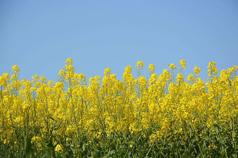
The BCC area includes the seven settlements of Chapel of Garioch (part), Culsalmond, Insch, Leslie, Oyne, Premnay and Rayne, together with their surrounding countryside areas. The full extent of the area BCC covers is shown on the adjacent map (click to enlarge).
Parishes

Lynda Bain (Secretary) , Mark Worsley and Duncan Thow
The parish of Chapel of Garioch formerly lay in the area represented by the East Garioch Community Council but, when the CC was dissolved in 2013, the parish of Chapel of Garioch was divided amongst neighbouring councils. About 60% of the parish (including the settlements of Chapel of Garioch, Pitcaple, Whiteford and Durno) was ceded to BCC. Of the remaining area, the section roughly to the south of the Bennachie Visitor Centre was ceded to Kemnay CC, and the area to the east became part of the Inverurie CC area.
Chapel of Garioch including
Pitcaple, Whiteford and Durno


Culsalmond and Colpy
Kevin Shand (Vice Chair)
Possibly derived from the gaelic 'cul-saile-mon', meaning 'back of the hillfoot', Culsalmond is dominated by the Hills of Skares and Tillymorgan, and dissected by the River Urie and the A96. There are two estates in the parish, Williamston and Newton, whose agricultural productivity would have brought prosperity to the area.
The village of Colpy sits within the parish and was its centre until the post office and shop closed in the early 1990s. The original school was at Culsalmond crossroads but a replacement was opened in 1967 only to close in 1970, since when it has been used as a Community Education Centre. Today the Parish is more likely to be identified by the two retail outlets on the A96, Kellockbank Country Emporium and Morgan McVeigh’s Restaurant and Shop.
Janette Taylor
Gordon Hood
Sheena Lonchay (Chair)
Rab Riggs
The parish of Insch includes only part of the village of the same name. The previously separate community of Rothney (around the railway station) still lies in the parish of Premnay even though the two places amalgamated in 1923 under the ‘Insch and Rothney Town Council’. By far the largest community in the BCC area with approx. 2600 people, the village of Insch has a long and fascinating history which includes many notable families whose record of service to the community is acknowledged in the names of its streets. With various shops, post office, railway station, Bennachie Leisure Centre and primary school for over 400 pupils, Insch continues to expand, attracting new families and businesses to the area. Largie, Upper Boddam and Knockenbaird are amongst other small settlements in the parish of Insch.
Insch


Leslie
Wally Rhodes (Treasurer)
Alan Simpson
Follow the flow of the Gadie Burn west from Premnay to reach the small settlement of Leslie, where, if you continue on to the crossroads, the left hand turn leads to the Bogs of Leslie, the right hand turn to Old Leslie and straight ahead to the Mill of Leslie then leave the settlement heading towards Clatt. The Church, Graveyard and School building remain at the heart of the settlement, no longer used for their original purpose. However, Leslie Castle, the core of which dates from the 14th century, is the main historic landmark. The restoration of the castle, which is the historical seat of the Clan Leslie, was completed in 1995. Leslie is also home to Insch Airfield and the Grampian Microlight Flying Club (GMFC). The Club, which was founded in 1985, is home to a number of flex-wing, 3-axis microlights and light aircraft and membership is open for anyone interested in light sport aviation.
Oyne
Frank Musgrave
The parish of Oyne comprises some 10,000 acres, three quarters of which is occupied by the iconic hill of Bennachie. The parish extends almost seven miles from the River Don in the south to the Shevock and Urie in the north and around four miles east to west. The Gadie Burn, which flows through the village of Oyne, was immortalized in the dialect poem: "O! Gin I war whaur Gadie runs, at the Back O' Bennachie".
The village of Oyne is a thriving and vibrant community and it has an active Community Association. The village school is a popular and well respected primary with a roll of over 50 pupils, supported by an active Parent Council. The village hall provides a focus for much of the social life. There are regular pilates and yoga sessions in the hall, and the village also boasts a reels club, a book club, wine club and cafe at Smile. Back O' Bennachie car park provides access to the hill and path network supported by Forestry and Land Scotland and the Bailies of Bennachie.


Premnay
No representatives
Premnay incorporates the village of Auchleven which lies four miles south of Insch. It is a thriving community with its own school, which has served the community for over 120 years on the present site. With its own village hall, the community association is very active and hosts many events including the spectacular annual bonfire night and firework display. The school emblem is a depiction of the local castle, Lickleyhead, thought to have been built in 1560 possibly on the site of an earlier structure. Added to and restored through the ages, it still remains a residence of the Clan Leslie.
Rayne - Old Rayne, Pitmachie
Kirkton of Rayne, Meikle
Wartle and North Rayne
Gill Walker and Diana Muriel
Rayne covers a wide, predominantly farming, area and encompasses several rural settlements, namely Kirkton of Rayne, Meikle Wartle, North Rayne, Old Rayne and Pitmachie which, although not in the parish, adjoins Old Rayne and is very much part of the community. The area is very fortunate in that it still retains its own Church situated at Kirkton of Rayne as well as two thriving primary schools, Old Rayne and Rayne North. There are also two public halls, one in Meikle Wartle and the other, the St. Lawrence Hall which sits in the heart of Old Rayne, a much used and well supported facility relying mainly on funds raised at Lourin Fair, a traditional country horse fair, which is held annually on the third Saturday in August. Public transport is available via the No. 10 bus which stops at Pitmachie on the A96 providing hourly links to both Aberdeen and Inverness.
